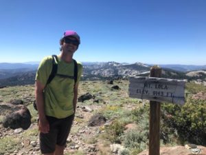
 Mt. Lola
Trail Description.
A longer 10.4-mile hike (out and back) up the tallest peak in the Sierra north of Interstate 80, with outstanding views. On a clear day, the Sierra Buttes and Mt. Lassen can be seen from the summit, and wildflowers at Cold Stream meadow along the way.
Difficulty.
Moderately difficult for hikers (2300 ft. elevation gain)
Directions to Trailhead. Take 89 north from Truckee for 14.5 miles, turning left onto USFS Road 07. Drive for 1.5 miles to USFS Road 07-10, and follow this for 0.6 miles. Turn right on (unsigned) Henness Pass Road and drive for 3.1 miles to a road signed Mt Lola Trail.

 Mt. Lola