 Pacific Crest Trail
 Pacific Crest Trail
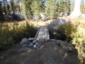
Trail Description.
This almost 2500 mile trail offers 20 + miles of trail to the Truckee day hiker, runner, and equestrian. Popular routes include:
1. Setting up a car drop at Squaw Valley USA Ski area, and hiking South along the PCT for stunning views on Tinkers Knob and Anderson Ridge, before descending the ski area. Physical Challenge: very strenuous. Distance: 20 miles, one way.
2. Proceeding North on the PCT to Round Valley and the Peter Grubb Hut, an historic hut for backcountry camping maintained by the Sierra Club. Physical Challenge: moderate. Distance: 8 miles, round trip, with a side trip option to ascend Castle Peak adding another 3 miles and increasing the physical challenge greatly.
3. A very popular running and day hiking route is to proceed south on the PCT until it meets US route 40 and return by heading north, back to the trailhead. Physical Challenge: moderate Distance: 6 miles round trip. 4. Another very popular day hike or run is to head north on the PCT until it junctions with the Summit Lake Trail. Proceed East on this trail until it Junctions with the Warren Lake Trail and Donner Lake Rim Trail. Proceed west on the Donner Lake Rim Trail until it junctions with the PCT. Turn left (south) onto the PCT, and head back to the trailhead. Physical Challenge: moderate. Distance: 5 miles.
Difficulty.
Moderate to very strenuous depending on the route taken.
Directions to Trailhead.
From Downtown, proceed west on Interstate 80 for 9 miles. Exit at the Castle Peak- Boreal Ridge Road Exit. Turn left off the off ramp, and then left again on Boreal Ridge Road. Follow signs to the Trailhead.